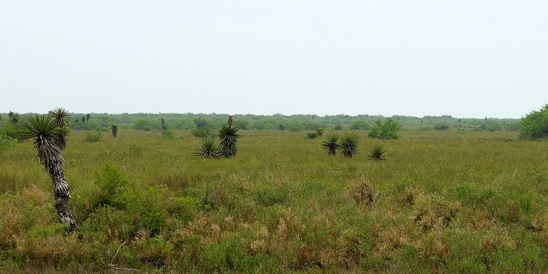
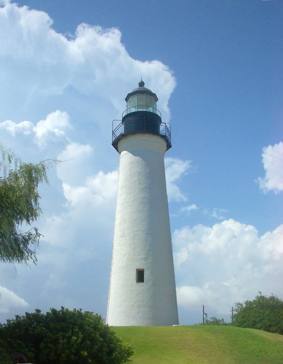
Palo Alto Battlefield
Start with the national park’s interpretation of the 1846 battle and the war that followed. Allow for exposed walking and warm weather.
Plan this stop ↗ RGV Guide.RIO GRANDE VALLEY · TEXAS
Border history, living landscapes
Brownsville rewards a visit that connects its historic streets with the landscape around them. Begin with the border’s complicated past, then trade museum rooms for a wetland trail or a wildlife visit. This is a substantial city with widely separated sights; choose a theme for the day and resist the urge to fit everything into one afternoon.
Find Brownsville on the map ↗Brownsville took shape in 1848 after the U.S.–Mexican War, beside Fort Brown and across the Rio Grande from Matamoros. Its townsite lay within an older Spanish land grant, and disputed property claims remained part of its early history. The river connected merchants, settlers, and communities on both banks.
Trade helped the new town grow, drawing people with varied national and linguistic backgrounds. The nearby battlefield and surviving historic places allow visitors to explore how war, commerce, and a changing international boundary affected the region. Brownsville’s story is best understood together with Matamoros and the river, rather than as an isolated Texas town.
Historical background: Handbook of Texas, Texas State Historical Association. Original RGV Guide summary.
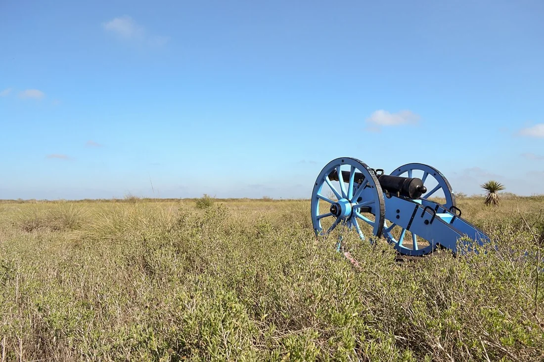
Start with the national park’s interpretation of the 1846 battle and the war that followed. Allow for exposed walking and warm weather.
Plan this stop ↗Explore a landscape shaped by former channels of the Rio Grande. Use the park’s current route and access information to plan your outing.
Plan this stop ↗A separate wildlife-focused outing for families. Check admission, opening times, and visitor guidance directly with the zoo.
Plan this stop ↗Check current hours, admission, accessibility, and any closures directly with each destination. Suggested outings are editorial ideas, not booked tours.