Laguna Atascosa National Wildlife Refuge
Plan a dedicated outing to this nearby refuge. Follow its current visitor map; not every road or unit is open to the public.
Plan this stop ↗ RGV Guide.RIO GRANDE VALLEY · TEXAS
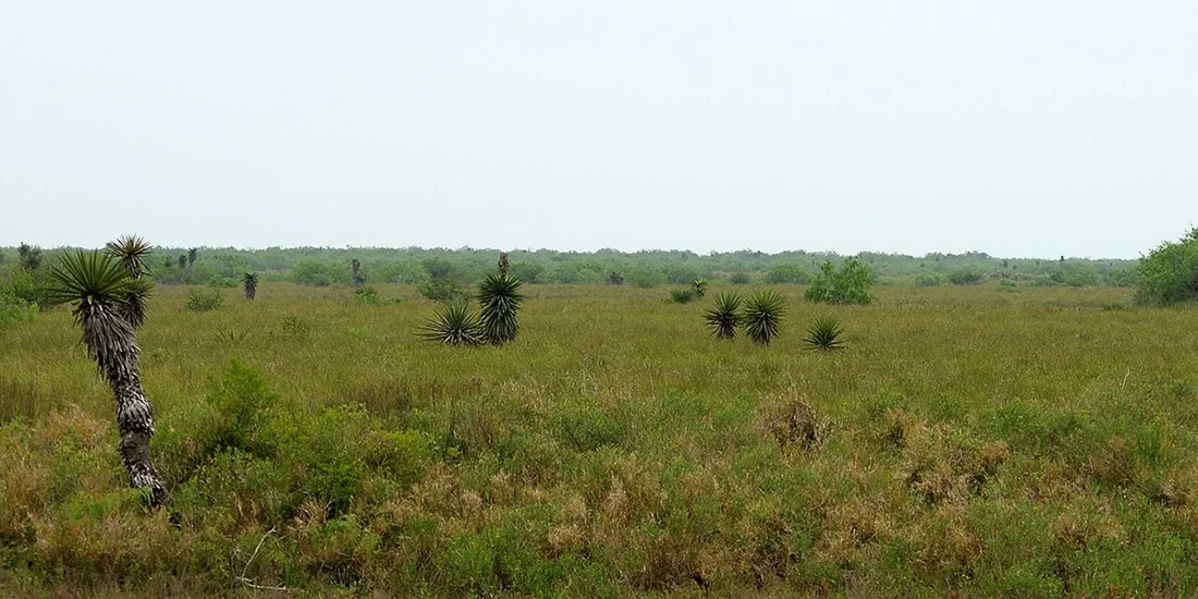
The road toward coastal nature
Los Fresnos sits between inland Valley life and the coast, making it a useful pause on a trip that includes Brownsville, Port Isabel, or Laguna Atascosa. Give the surrounding landscape its own time. A refuge visit needs a different pace and preparation from a drive through town on the way to the beach.
Find Los Fresnos on the map ↗The area’s ranching history predates the modern town. It formed part of the Espíritu Santo land grant issued in 1781, with smaller settlements developing as families lived and worked on the land. Early twentieth-century development brought new subdivisions and settlers.
The present townsite was established in 1915 after earlier development nearby. Its name refers to ash trees. Farming continued to shape the community as road and rail connections improved. That agricultural setting remains important to understanding the journey between the inland towns and the coastal wetlands.
Historical background: Handbook of Texas, Texas State Historical Association. Original RGV Guide summary.
Plan a dedicated outing to this nearby refuge. Follow its current visitor map; not every road or unit is open to the public.
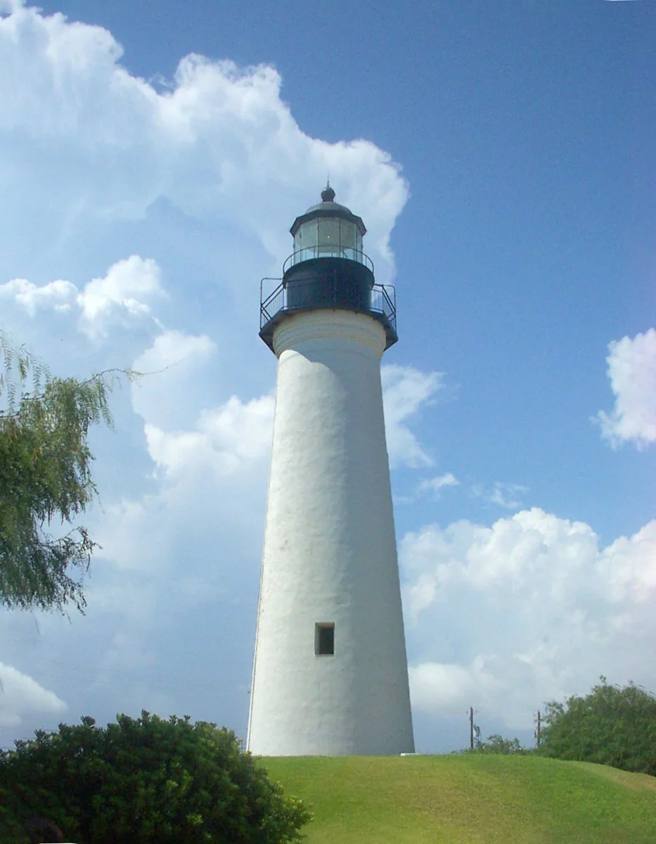
Plan this stop ↗Follow the coastward journey with maritime history around the lighthouse.
Plan this stop →Build a two-part day around the region’s history and natural environment, allowing for the drive between stops.
Plan this stop →Check current hours, admission, accessibility, and any closures directly with each destination. Suggested outings are editorial ideas, not booked tours.