Discover the town’s background
The historical account explains the relationship between agriculture, transport, and the city’s development.
Plan this stop ↗ RGV Guide.RIO GRANDE VALLEY · TEXAS
Where the Valley connects
Pharr works well as part of a central-Valley day. Its location beside McAllen and San Juan makes it easy to connect city experiences, a shrine visit, and the region’s agricultural story. Look past the busy roads: the town has its own history of irrigation, industry, and community change.
Find Pharr on the map ↗Pharr was developed on land within an eighteenth-century Spanish grant. In 1909 John Connally Kelley and Henry N. Pharr acquired land for a farming venture. Pharr developed an irrigation system for sugarcane, while Kelley laid out the town and named it for his partner.
The sugar venture failed, but irrigation continued to support other crops. Pharr incorporated in 1916. Its later history includes a struggle against segregation and unequal treatment, with the events of 1971 drawing attention to divisions in the community. The opening of the international bridge in 1994 added another important chapter in the city’s role as a commercial connection.
Historical background: Handbook of Texas, Texas State Historical Association. Original RGV Guide summary.
The historical account explains the relationship between agriculture, transport, and the city’s development.
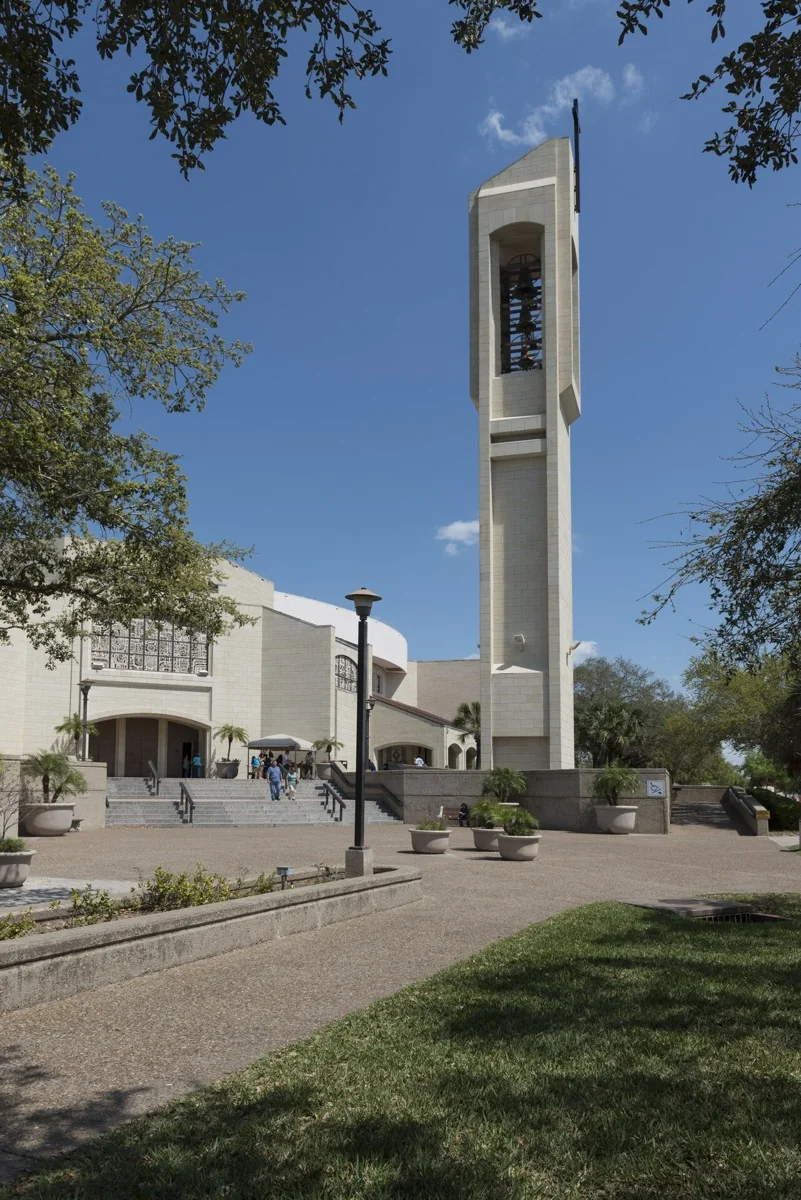
Plan this stop ↗Build a short outing around the basilica and leave time for a meal in the area.
Plan this stop →Add gardens, exhibitions, or an evening activity in the neighboring city.
Plan this stop →Check current hours, admission, accessibility, and any closures directly with each destination. Suggested outings are editorial ideas, not booked tours.