The beach
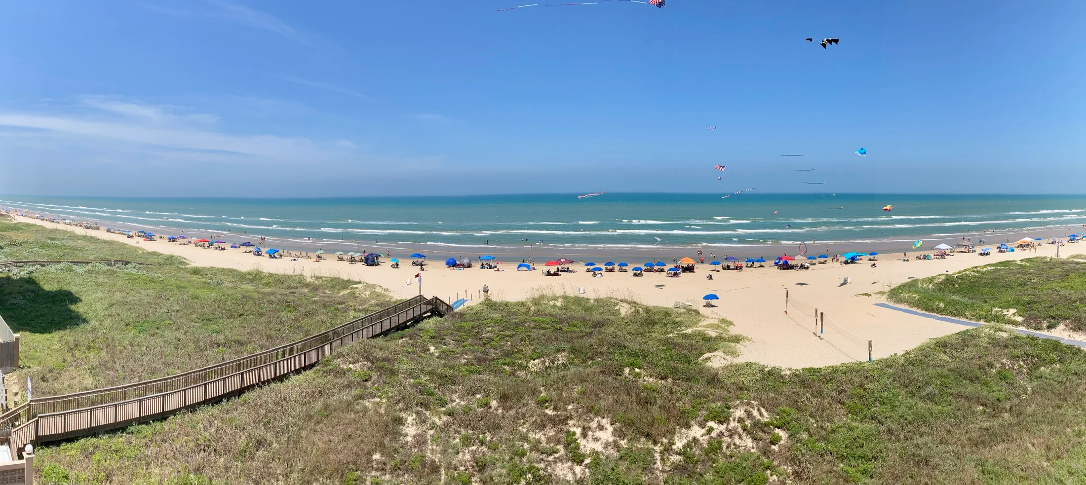
Use the official visitor guide to choose an access point. Check beach flags, surf conditions, and facilities before planning a swim.
Plan this stop ↗ RGV Guide.RIO GRANDE VALLEY · TEXAS
Salt air & a longer horizon
South Padre Island invites you to do less and notice more: a walk along the Gulf beach, a look across Laguna Madre, and a closer encounter with coastal conservation. Give the island a few unhurried days if you can. Wind, water conditions, and wildlife activity help set the rhythm here.
Find South Padre Island on the map ↗The southern end of Padre Island had a long coastal history before it became a modern resort. For much of the late nineteenth and early twentieth centuries, visitors reached it by ferry. The first road causeway from Port Isabel opened in 1954 and helped make larger-scale development possible.
Tourism became central to the community, while storms repeatedly demonstrated the challenges of building on a barrier island. That history is a useful lens for a present-day visit: dunes, wetlands, and conservation facilities are part of what makes the coast work, not simply scenery beside the hotels.
Historical background: Handbook of Texas, Texas State Historical Association. Original RGV Guide summary.
Use the official visitor guide to choose an access point. Check beach flags, surf conditions, and facilities before planning a swim.
Plan this stop ↗Learn about rehabilitation and conservation. Public releases depend on wildlife needs and should never be assumed to happen on a particular visit.
Plan this stop ↗Explore the bay-side environment through designated visitor areas. Check current admission and activities.
Plan this stop ↗Check current hours, admission, accessibility, and any closures directly with each destination. Suggested outings are editorial ideas, not booked tours.