Santa Ana National Wildlife Refuge
Choose a route from the official trail map and look for woodland and wetland habitats. This is a separate refuge south of town, not a downtown park.
Plan this stop ↗ RGV Guide.RIO GRANDE VALLEY · TEXAS
A doorway to the wild
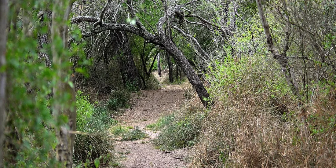
Alamo is a useful starting point for a different kind of Valley outing: one measured in bird calls and shaded trail junctions. The city sits along the inland urban corridor, while Santa Ana National Wildlife Refuge lies to the south. Make the refuge your main destination, then return to town for a relaxed meal.
Find Alamo on the map ↗Alamo grew out of early twentieth-century land development and the railroad. An early settlement near the depot was known as Camp Ebenezer. After a change in ownership, the townsite moved to higher, better-drained land, an important consideration in this low-lying agricultural region.
The town incorporated in 1924 and developed as a shipping center for citrus and vegetables. Its history connects everyday farming, transportation, and water management with the broader transformation of the Valley. The refuge landscape nearby offers a useful counterpoint: a chance to see habitat that has become much less common as the region has developed.
Historical background: Handbook of Texas, Texas State Historical Association. Original RGV Guide summary.
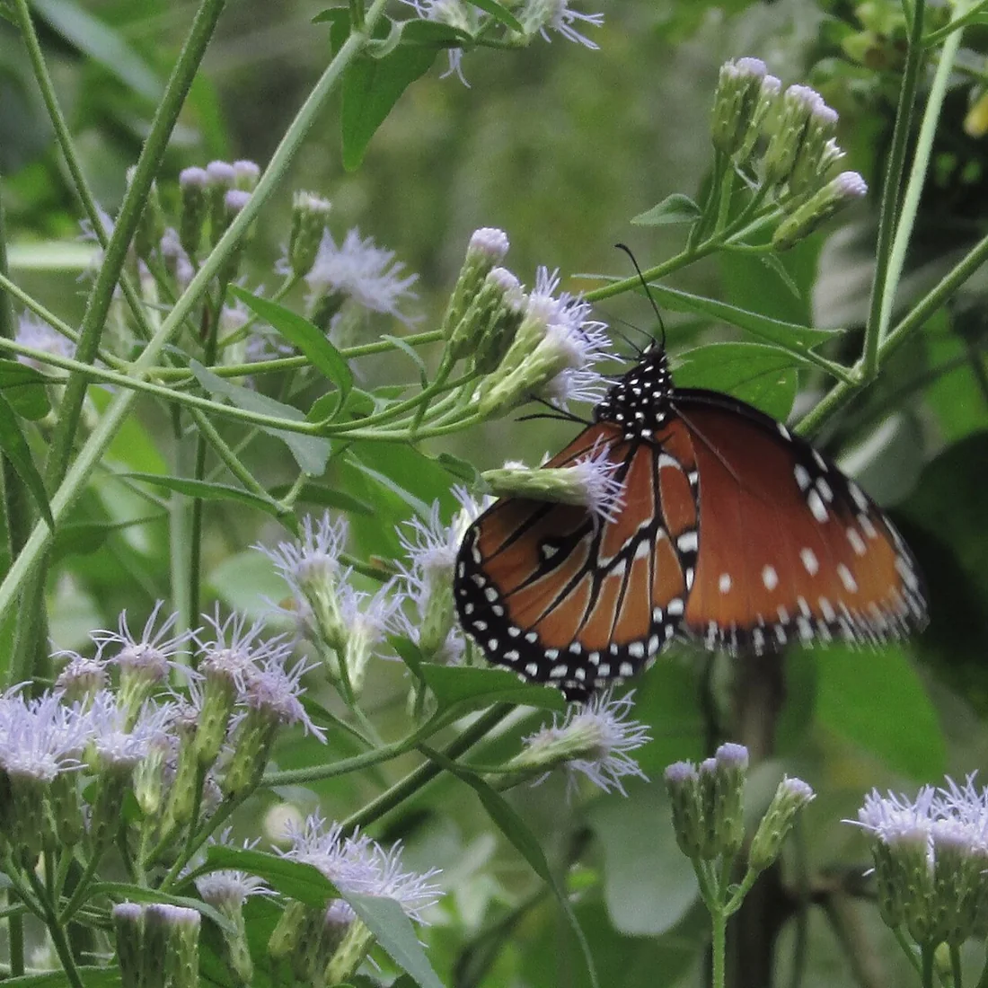
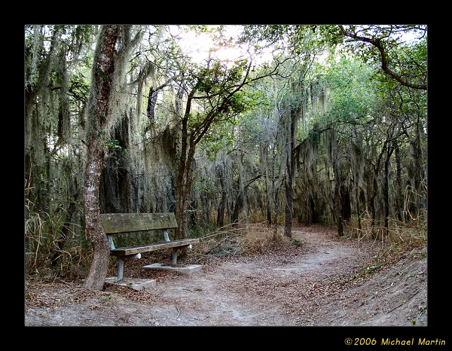
Choose a route from the official trail map and look for woodland and wetland habitats. This is a separate refuge south of town, not a downtown park.
Plan this stop ↗Allow time for observation rather than trying to cover every trail. Ask staff about current access and recent wildlife activity.
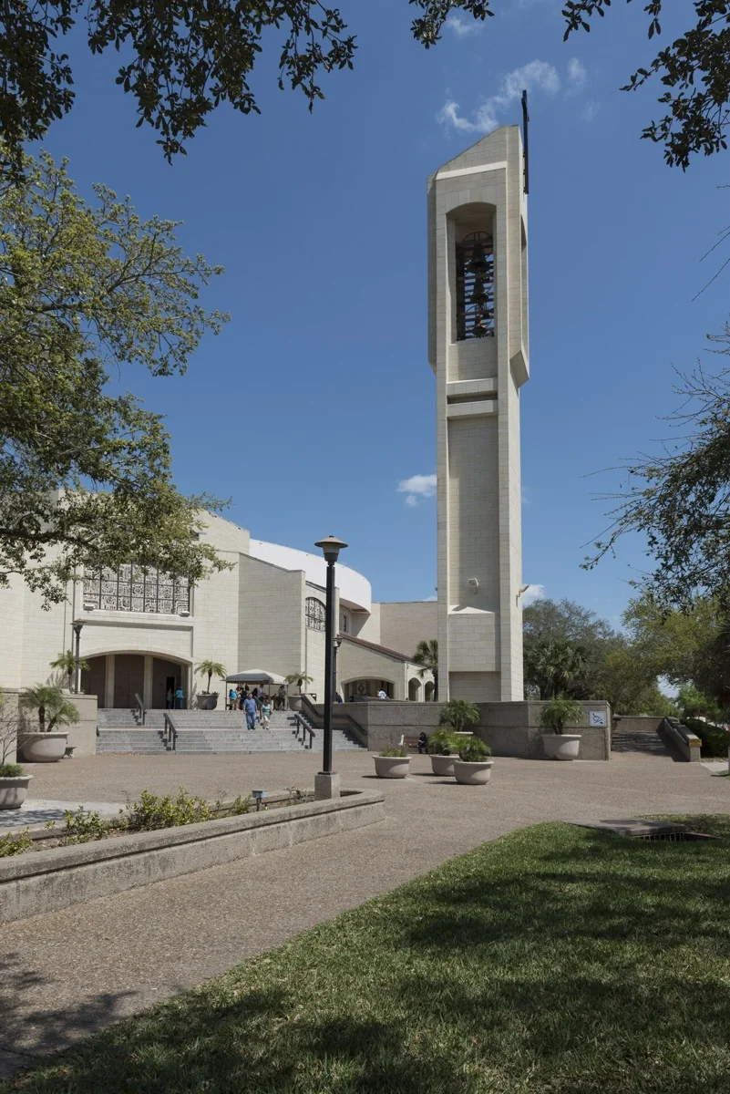
Plan this stop ↗A nearby stop at the basilica offers a change from natural history to the Valley’s living religious traditions.
Plan this stop →Check current hours, admission, accessibility, and any closures directly with each destination. Suggested outings are editorial ideas, not booked tours.